
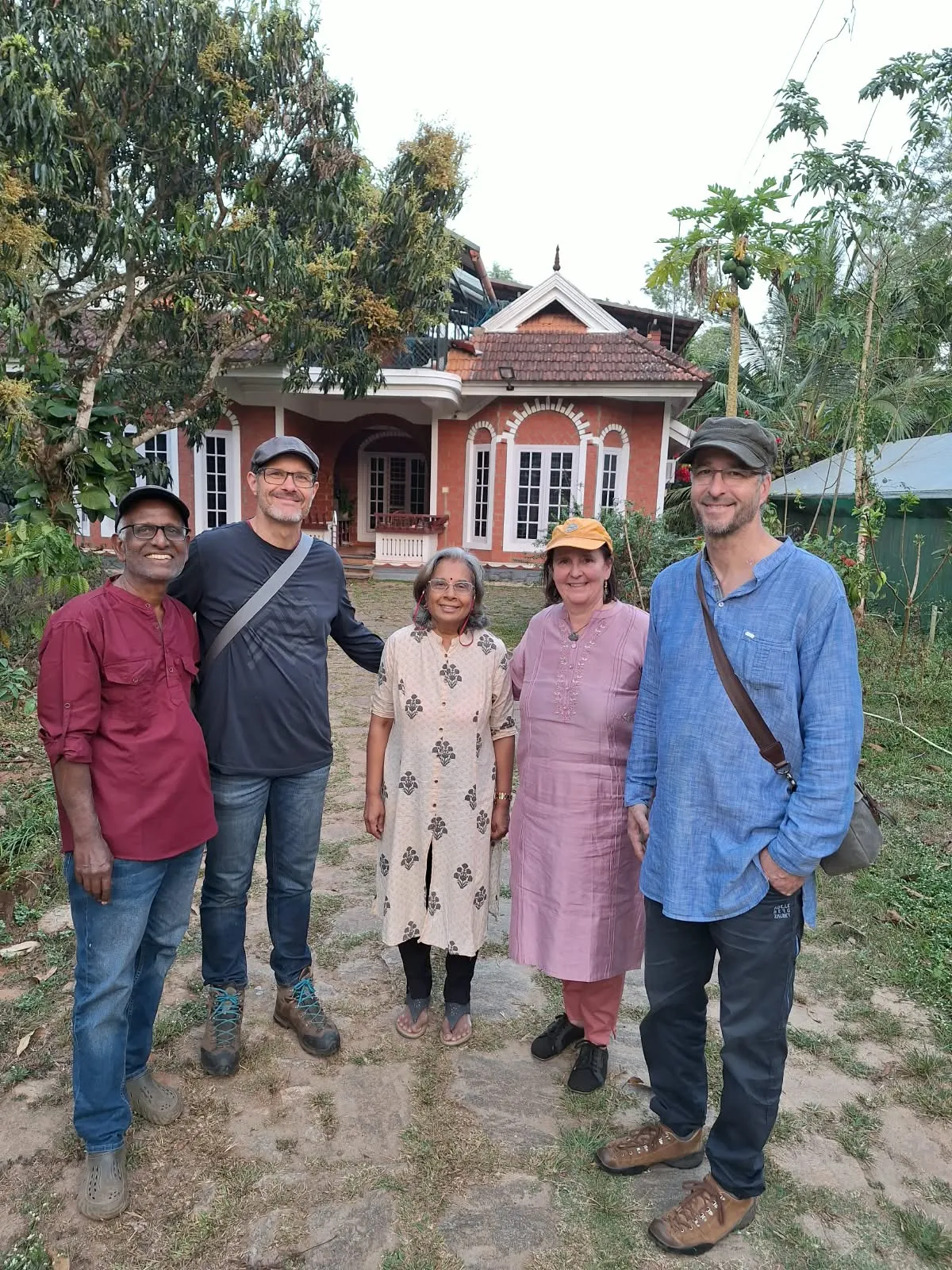
Wayanad gets recommended a lot, usually as a checklist: a waterfall, a wildlife sanctuary, a viewpoint, done in a day. Having grown up here, we'd argue that's the wrong way to see it. This is the guide we'd give a friend coming to stay with us: not everything there is to do, just what's worth your time.
Where You're Actually Going
Wayanad is a district in the Western Ghats, occupying the eastern portion of north Kerala and sharing borders with Karnataka and Tamil Nadu. It sits between roughly 700 and 2,100 metres above sea level. That altitude is the whole point: it's why the weather here has nothing to do with the coast an hour and a half below.
The name comes from Vayal Nadu, the land of paddy fields. It became Kerala's twelfth district only in 1980, carved out of Kozhikode and Kannur. Both facts tell you something useful: this was farmland long before it was a destination, and it is still mostly farmland with visitors moving through it.
Something else to get straight early. Wayanad is not a town. It's a district roughly the size of a small county, with Kalpetta, Sulthan Bathery and Mananthavady as its main centres and an hour or more between them on hill roads. "Twenty minutes away" means something different here than it does on a map.
Getting Here
There's no railway station and no airport inside the district. The terrain doesn't allow for either. Every arrival ends with a drive up a ghat road, and that's not a hardship. It's the best part of the journey.
From Kerala, the usual approaches are Kozhikode (Calicut) airport and Kannur airport. Kannur is closer to the northern side of the district, Kozhikode to the south and east. Either is a couple of hours' drive depending on where in Wayanad you're headed. From Kozhikode most people come up the Thamarassery ghat road, which climbs through a stack of hairpin bends and delivers you at Lakkidi, right at the top of the pass at about 700 metres. There are other routes in (Kuttiady from Vatakara, Periya and Palchuram from the Kannur side), and if you have the time, they're quieter.
From Bangalore it's a longer day than people budget for. Plan on something closer to six hours than three, and note one hard constraint: the highway through Bandipur is closed to traffic between 9pm and 6am, and to two-wheelers from 6pm. If you leave Bangalore late afternoon you will sit at a barrier. Leave in the morning, or plan to stop.
Whichever way you come, do the last stretch slowly. Stop at the viewpoints. The climb up is the part people tend to remember afterwards, and it costs nothing.
Where to Stay
We're biased, but we'd say this anyway: stay somewhere that puts you in the plantations, not just a hotel with a Wayanad address. That's the idea behind Cheeral Green Homestay and Cheeral Green Villa. Both put you in among the hills, not looking at them from a balcony.
More practically: pick one base and stay put. Wayanad tempts people into moving every night, and all that achieves is spending your holiday on hill roads. The district is small enough to reach most of it from one place and slow enough that packing twice will cost you a day.
Four Days That Work
Three or four days is enough to see Wayanad properly if you don't try to do everything. A rough shape that works well:
- •Day 1: Arrive, settle in, do nothing in particular. Walk the property, ask about the farm. If you drove up from Bangalore you'll want this day more than you think.
- •Day 2: Edakkal Caves first thing, before the heat and the crowds, then the Jain temple at Sulthan Bathery on the way back. Two stops, one morning, home for lunch.
- •Day 3: Muthanga for the early jeep safari, or Pookode Lake if you'd rather go slow. Not both.
- •Day 4: Karapuzha Dam or the Heritage Museum at Ambalavayal, depending on whether you want open water or history on your last day.
Notice what that plan mostly does: one thing a day. Pack a fourth stop into any of those days and it's usually the one that gets dropped by lunchtime.
The Rest of the List
If you have longer, or you want to swap something out, these are the ones we'd actually put forward.
Chembra Peak is the highest of the Wayanad hills at around 2,100 metres, with the heart-shaped lake partway up that everyone photographs. Trekking is managed by the forest department through a local committee, numbers per day are limited, and access has been restricted at various points. Check before you build a day around it.
Banasura Sagar is the largest earth dam in India, built across the Karamanathodu river with the hills behind it. Worth it for the setting rather than the engineering.
Pookode Lake sits at about 770 metres and is the highest-altitude freshwater lake in Kerala. It's small, it's busy, and it takes an hour. Good with children, oversold to everyone else.
Kuruva Island is a protected river delta of around 950 acres, and one of the quieter things to do here, but it closes through the monsoon when the river is high, so it isn't a year-round option.
The waterfalls are genuinely spectacular in and just after monsoon and genuinely disappointing in April. Ask before you drive to one. And take the safety signs seriously: the rocks are slick and the water rises quickly.
Things Worth Knowing Before You Arrive
- •Carry cash. Entry tickets at most sites are counter-only, and a lot of small places don't take cards.
- •Mornings are cold. People pack for Kerala and arrive with nothing warm. Bring a layer, especially December to February.
- •Don't self-drive the ghat at night if you're not used to it. Hairpins, fog, and trucks.
- •Leeches are real in wet months. Long socks, closed shoes, a little salt in your pocket. They're harmless and everybody survives them.
- •Most sites shut by late afternoon, some earlier than their listed closing time. Wayanad is a morning place.
- •This is elephant country. If you're driving near forest boundaries at dusk, slow down and don't stop for photographs.
Best Time to Come
October through May is the easiest window: clearer trails, better visibility, and most things open. December and January are the busiest, and March to May are hot but quiet and often the best months for wildlife.
Monsoon has its own case. The hills turn a deeper green and the waterfalls run properly, but safaris are usually suspended, some sites close, and heavy rain on these slopes is a serious matter rather than an inconvenience. We've written about all of this in more detail in our season-by-season guide.
What We'd Actually Tell You to Do
Cut one thing from your plan. Then cut another. Spend the recovered morning walking around wherever you're staying, or sitting with a coffee watching the hills change colour, which they do, all day, and which no itinerary has a slot for.
Every family here has a slightly different version of this list, shaped by where they grew up and what their grandparents pointed out on drives. This is ours. We're glad to adjust it once we know what you're looking for: quiet, adventure, wildlife, or just somewhere to slow down.