Twelve places we send guests to, what each one is actually like, and the practical details that decide whether the day works.
"What is there to see in Wayanad?" is the easy question, and it has a useless answer: a great deal. The
harder question, the one worth asking before you book anything, is which of it deserves the two or three days
you actually have.
Most itineraries you'll find online answer that by listing everything. People arrive with eight or nine names
on a phone note and try to get through them. It doesn't work. Wayanad is a hill district, the roads bend
constantly, and the distance between two attractions on opposite sides of it is an hour and a half of
driving, not twenty minutes. Guests who plan that way spend their holiday in a car, arrive everywhere tired,
and remember none of it clearly.
The fix is boring and it works: pick a side of the district each day, and do two or three things that sit
close together.
Where these details come from
Timings, fees and rules below are taken from the Kerala District Tourism Promotion Council's Wayanad
listings, the Forest Department's ecotourism information, and Kerala Tourism, cross-checked where sources
disagreed. They still change. Fees are revised, sites close after heavy rain, caps get lowered in peak season. Where we weren't confident of an exact figure we've said so rather than guessed. Ask us the week
before you travel and we'll check what's actually open.
Wayanad Splits Into Three, Roughly
It isn't an official division, but it's how anyone living here thinks about a day out. Three towns,
three clusters of things worth seeing around each.
The east, around Sulthan Bathery
Edakkal Caves, the Jain temple, the Heritage Museum at Ambalavayal, and the Muthanga forest gate. The closest group to us, and the easiest full day to plan.
The south: Kalpetta, Meppadi and Vythiri
Chembra Peak, Soochipara Falls, Pookode Lake, En Ooru, Karapuzha Dam. This is where the hills get steep and most of the trekking is.
The north, Mananthavady and beyond
Banasura Sagar Dam, Kuruva Island, Thirunelli Temple. Quieter, greener, further. Worth a whole day rather than half of one.
One warning about the numbers on our homepage: those drive times are from our gate, on the eastern side.
Pookode, at over an hour, tells you what the southern and northern clusters cost you in road time. Plan
those as their own day.
Cluster One
The East: Sulthan Bathery and Around
Rock carvings, a thirteenth-century temple, a small museum, and the forest gate at Muthanga. All four in a day is possible if you start early.
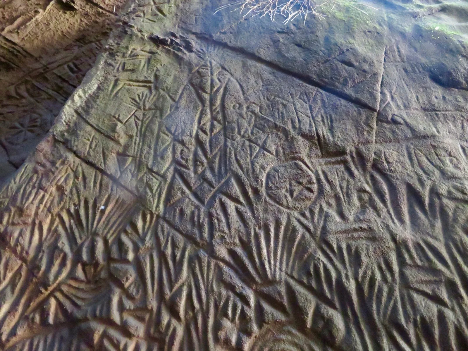
Not a cave in any real sense. A slab split off Ambukuthi Hill and left a fissure, and a separate boulder
later dropped across the gap like a lid. Inside it, cut into the rock rather than painted on, are petroglyphs: human figures, animals, wheels, spirals, symbols nobody has fully explained. The oldest
date to the Stone Age, and the site holds carvings from several different periods, which is a polite way
of saying people kept coming back here for thousands of years.
Vehicles stop partway up the hill. The rest is a climb. Made steps through coffee first, then metal staircases bolted to the rock, then gaps that narrow to single file. Closed shoes, not sandals. It's the
wrong outing for anyone unhappy with heights or tight spaces, and there's no shame in half the group
waiting at the bottom with a coffee.
Two things trip people up. It closes on Mondays. And there's a daily visitor cap (DTPC lists 1,920), which can be hit before mid-afternoon on a busy weekend. Go in the morning. The low light rakes across
the rock and makes the fainter carvings readable, which by eleven o'clock they no longer are.
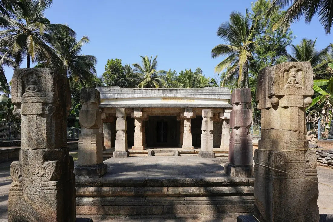
Thirteenth century, built in the Vijayanagara style by Jain families who came into Wayanad from what is
now Tamil Nadu and Karnataka. It is a Digambar temple, and it's protected by the Archaeological Survey
of India. Squat granite pillars, carved relief work on most of them, a stone-slab roof. It is far plainer than a Kerala temple usually is, and quite a lot older-looking.
The town's odd name comes from this building. Tipu Sultan's army used it as a store for ammunition, a battery, during the Mysore campaigns in Malabar. "Sultan's Battery" wore down into Sulthan Bathery in
British records and never went back. The temple was left deserted for a long stretch afterwards.
Half an hour is enough, and it's rarely crowded. The one thing to watch is the midday break: it shuts
around noon and opens again in the afternoon, so don't roll in at one o'clock expecting to get inside.
Hours:
morning and late-afternoon sessions, closed over midday
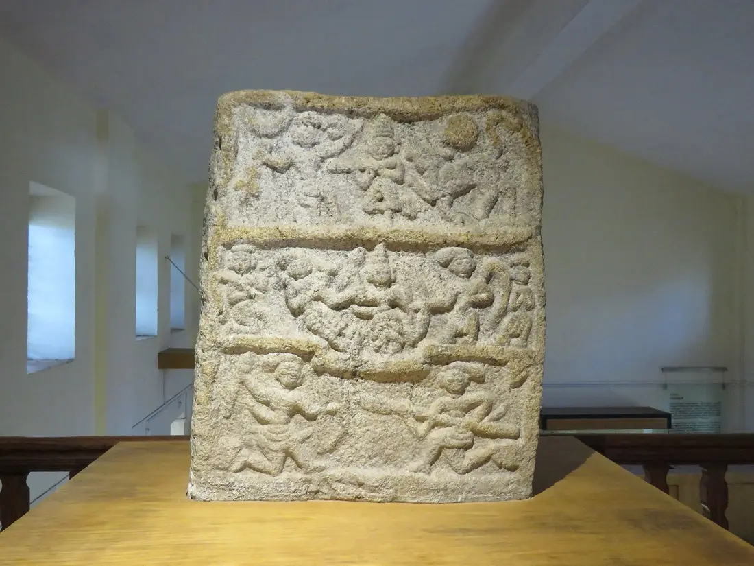
You'll see it called the Ambalavayal Heritage Museum too. Same building, two names. It's one of
Kerala's larger archaeological collections and it is not large: a handful of galleries holding carved
hero-stones, terracotta, weapons, ornaments, and everyday objects from the tribal communities of these
hills. Some of the material recovered at Edakkal is displayed here.
Whether it lands depends entirely on how you approach it. Walked through in ten minutes it's a room of
old stones. Read properly, and the labelling is decent enough to make that possible, it gives you the context for everything else on the eastern loop. Which is why we suggest doing it the same day as Edakkal, rather than as a filler on another afternoon.
Modest entry fee, open through the day without a midday break. Worth an hour.
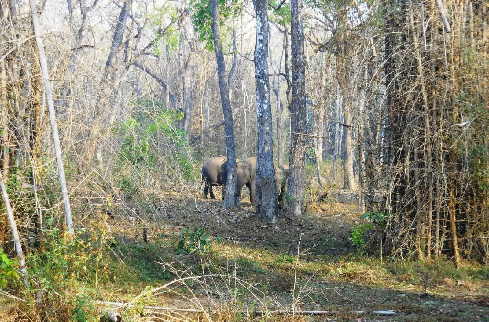
Muthanga is the eastern range of the Wayanad Wildlife Sanctuary, sitting against the Karnataka and Tamil Nadu borders. It is the same continuous forest as Bandipur and Mudumalai next door. Elephant, gaur, spotted
deer, langur and peafowl are common sightings. Tiger and leopard are present and almost never seen. Go
expecting the forest itself and you'll come back happy.
You go in by forest jeep with a guide or forest official aboard; private vehicles aren't allowed
through the gate. Two slots a day, early morning and late afternoon, with a limited number of jeeps
released for each, noticeably more in the morning than the evening. The ride runs around an hour and a
half.
The booking situation is worth understanding before you go. Tickets have traditionally been sold at the
forest office counter on a first-come basis, and the sanctuary now also runs an online booking site.
Which channel is working on any given week varies. Reach the counter well before the slot opens, and
check with us before you set out.
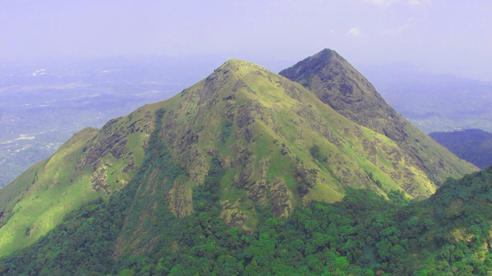
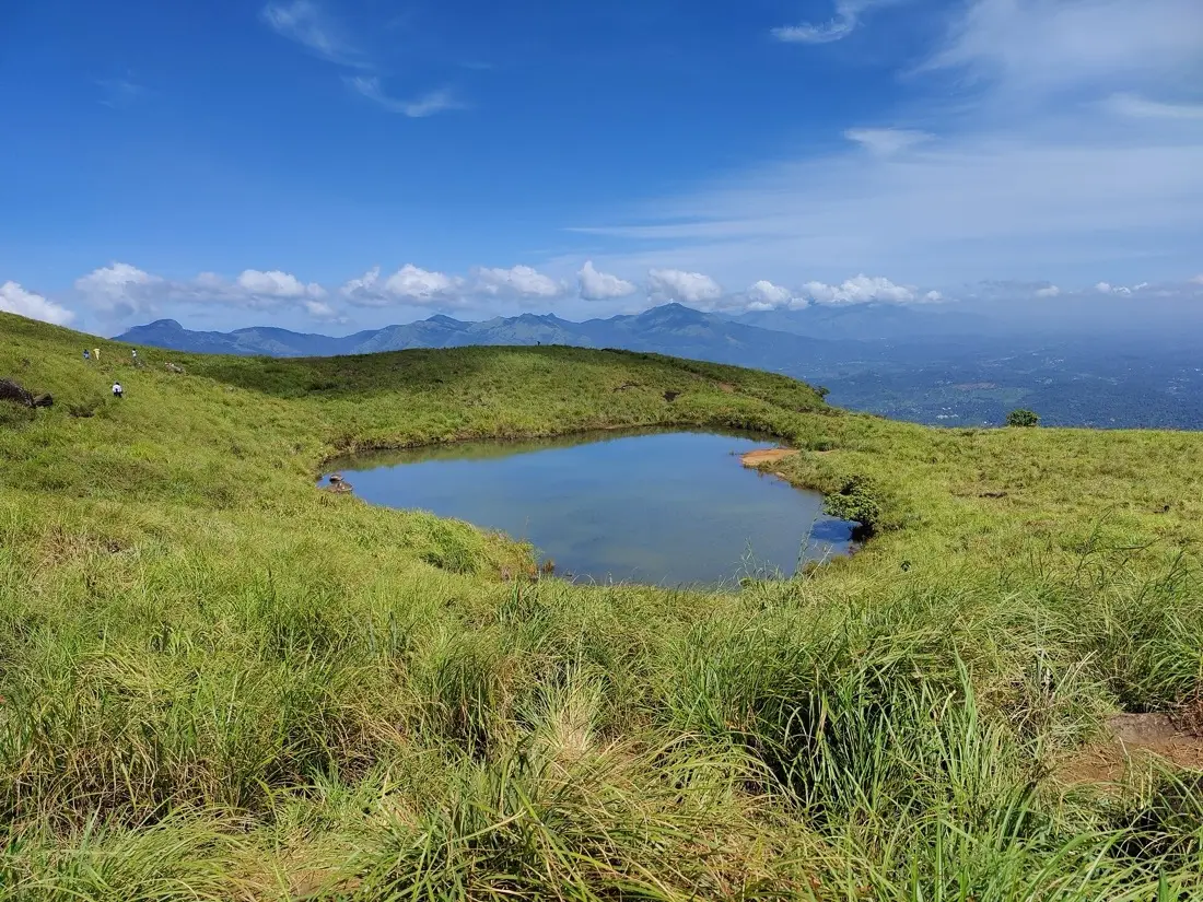
The highest hill in Wayanad, and the one photograph everyone has seen: a small lake shaped almost
exactly like a heart, sitting in a fold of the grass slope. It's a real lake, sitting in a natural hollow, and
it looks even more like a heart from above than it does from the path.
Understand what you're signing up for. This is a Forest Department trek, not a viewpoint you drive to.
Permits are issued at the Meppadi forest office, a guide comes with you and is not optional, the number
of trekkers admitted each day is capped, and entry closes in the early afternoon so everyone is off the
hill before dark. Camping isn't allowed. The section beyond the heart-shaped lake, up to the summit
itself, has been closed to trekkers because of wildlife movement. The lake is the turnaround point,
and treat anyone offering to take you past it as a reason to walk away.
The climb to the lake takes most people around two and a half hours. It is open grass almost the whole
way, which means no shade, wind, and a surface that turns genuinely slippery in the wet. Start at
opening time: you get the light, you beat the heat, and you're not rushing the descent. Shoes with
grip, more water than feels necessary, and a hat.
Entry:
roughly 7am–3pm, daily cap on trekkers
Permit:
Meppadi forest office; guide mandatory
Fees:
per-person entry plus a group trekking charge; confirm current rates
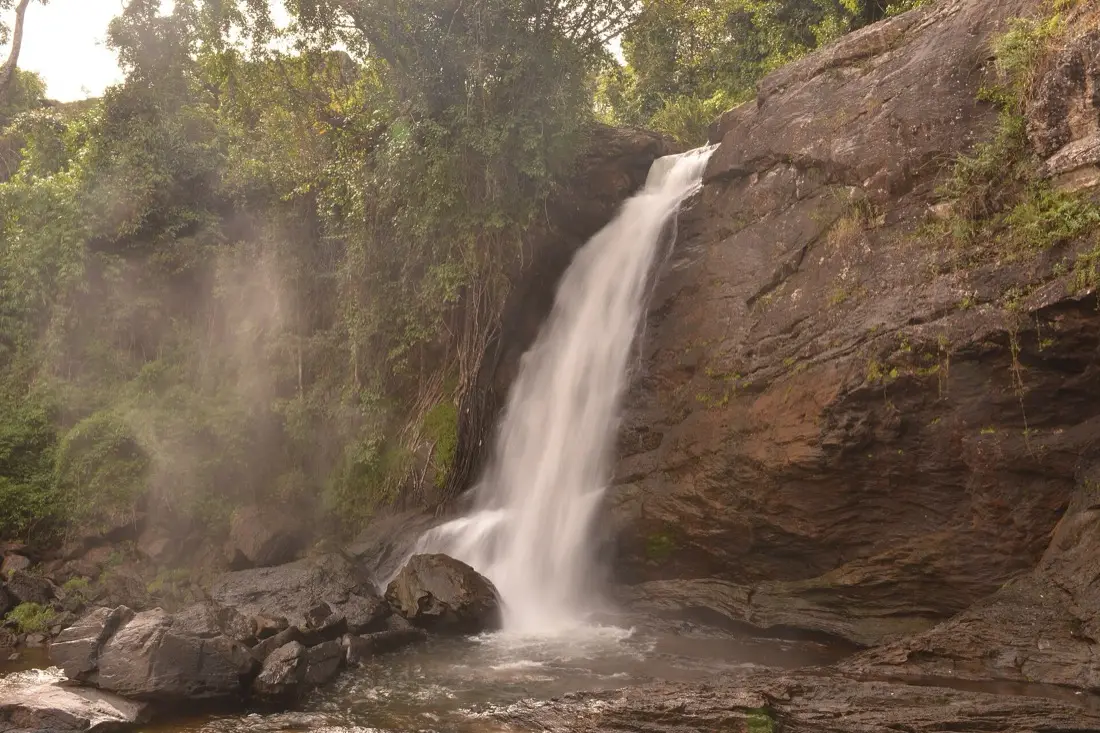
Also signposted as Sentinel Rock Waterfalls, after the needle-shaped cliff beside it that rock
climbers use. The falls come down the Vellarimala range in three tiers, and there's a pool at the
bottom where people swim.
You park at the top and walk down, about a kilometre of stone-laid path and steps through forest.
Which is the catch nobody mentions in the photographs: the return leg is all uphill, at the end of the
day, and it is harder than the way in. If anyone in the group has knee trouble, factor that in.
The rock around the pool is worn smooth and stays wet. People get hurt here by scrambling onto boulders
for a photo. Stay inside the marked area, and don't get in the water if the flow looks heavy. During and just after the monsoon it can be far stronger than it looks from above. October to February is the
better window: enough water to be impressive, calm enough to enjoy.
Bring dry clothes if you plan to swim, and a bag for wet ones. Tickets are sold at the gate only, and
there's a daily visitor limit.
Hours:
roughly 8am–5pm, last entry earlier
Entry:
per-person fee, higher for foreign visitors; camera charged separately
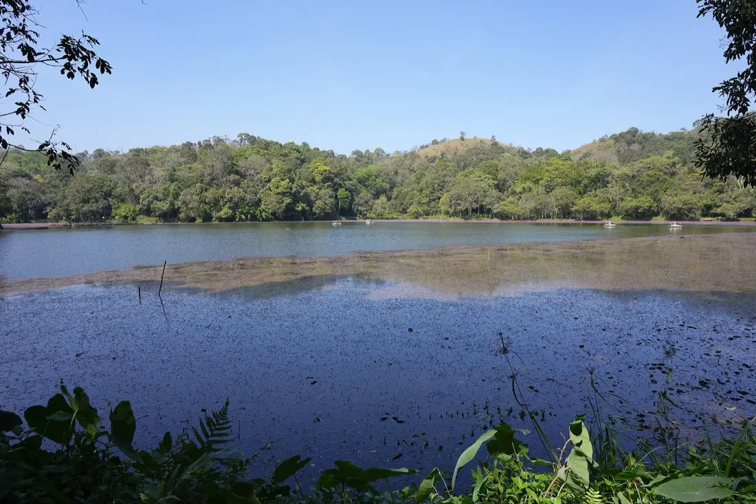
A small natural freshwater lake sitting in evergreen forest, up at around 2,000 feet. The path around
the edge is short and flat, there are pedal boats and kayaks, a freshwater aquarium and a children's
park, and enough birdlife that people with binoculars linger.
Set your expectations honestly: this is a managed park around a lake, not wilderness. It is popular,
it can be genuinely crowded in the middle of a holiday weekend, and boat tickets are sold in fixed
slots. On a quiet weekday morning it is lovely. At three o'clock on a Sunday in December it is a
queue.
It also sits on the far side of the district from us, so don't tack it onto an eastern day. Pair it
with En Ooru, which is close by, and make an afternoon of it.
Hours:
roughly 9am–5pm
Entry:
small fee; boating and aquarium charged separately
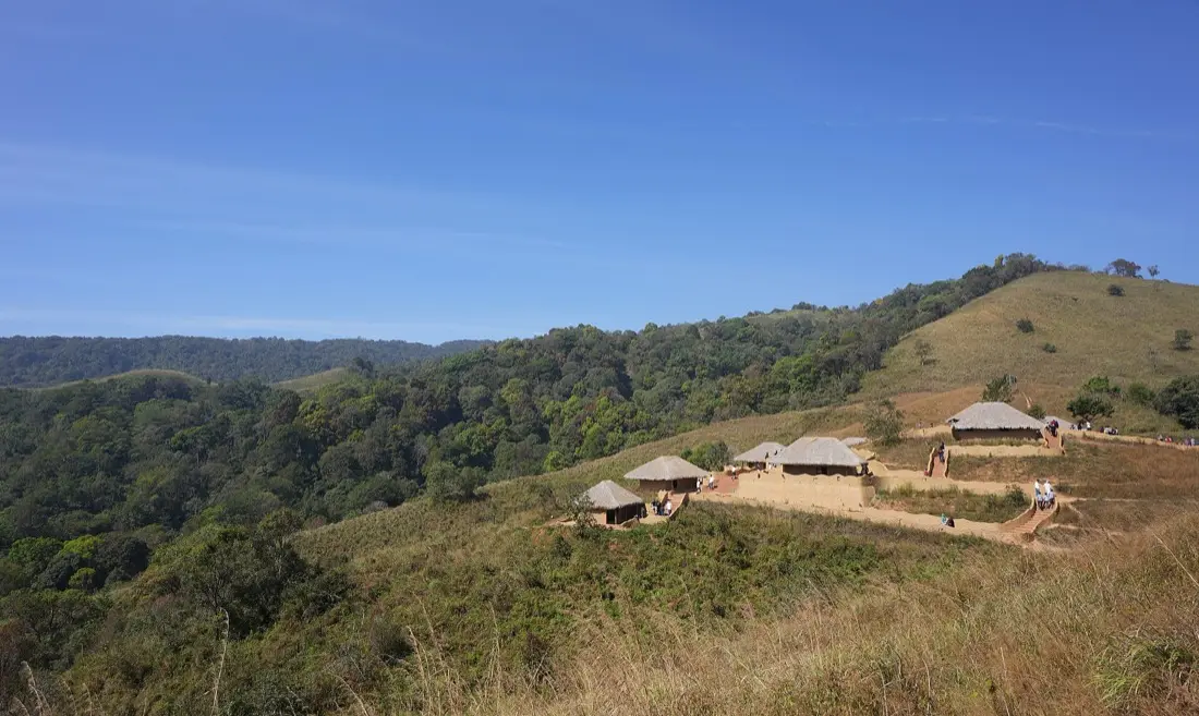
The name means "my village". It's a hillside of traditional thatched huts built by the state's tourism
and Scheduled Tribe development departments, the first project of its kind in Kerala, spread over about twenty-five acres above Pookode.
What makes it worth the trip is that it isn't only a display. The stalls are run by tribal artisans
selling their own work, there's a shop for traditional medicine, and the two cafeterias serve tribal
food rather than the standard tourist menu. Eat there. It's the part guests talk about afterwards.
There's also an open-air theatre used for performances.
Access is slightly unusual: you buy tickets near the Veterinary University gate at Pookode, leave your
car, and take a jeep up to the village. There's a small charge for that on top of entry. Two hours
covers it comfortably, including the transfer, and it goes naturally with Pookode Lake on the same
afternoon.
Two things sharing a site, and it helps to know which one you're going for. There's the dam and its garden: a long earthen bank, water spreading back into the hills, good early morning views when the
mist is still sitting on it. And there's the adventure park built alongside, which is the reason most
families come.
The park runs a zip line of several hundred metres across the water, a giant swing, a space tower, a
few spinning rides, a VR room and a children's play area. Entry to the site is cheap; each activity is
charged separately on top, and the bigger rides carry a minimum weight, so smaller children will be
turned away from some of them. Worth knowing before you promise anyone a zip line.
The trap here is arriving late. The park stays open into the evening but the last entry is well before
closing, and rides queue up in the final hour. Come after lunch at the latest.
Hours:
from morning into the evening; last entry mid-afternoon
Entry:
small fee; activities priced individually
Allow:
2–3 hours if you're doing the rides
Note:
weight minimums apply on the bigger rides
Cluster Three
The North: Mananthavady and Beyond
Fewer visitors, longer drives, and the three places most likely to stay with you. Give this side a whole day.
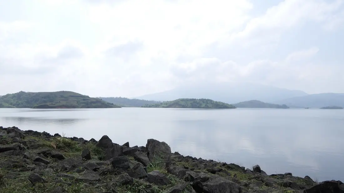
The largest earthen dam in India: a wall of packed stone and earth nearly forty metres high, holding
back the Karamanthodu, a tributary of the Kabini, at the foot of Banasura Hill. When the reservoir
filled, the tops of the drowned hills stayed above the waterline. That's what the islands out on the
water are.
It photographs better than it reads. The view over the water toward the Western Ghats is the point, and
the mornings are the best of it. Speedboats and pedal boats run from a jetty roughly a kilometre's walk in from the entrance. That is a real walk, mostly in the open, so allow for it rather than being surprised by it. Boating winds up well before the site itself closes.
Note the seasonality. The water level drops through the dry months, which changes what you see from the
bank considerably. November onwards is the usual recommendation.
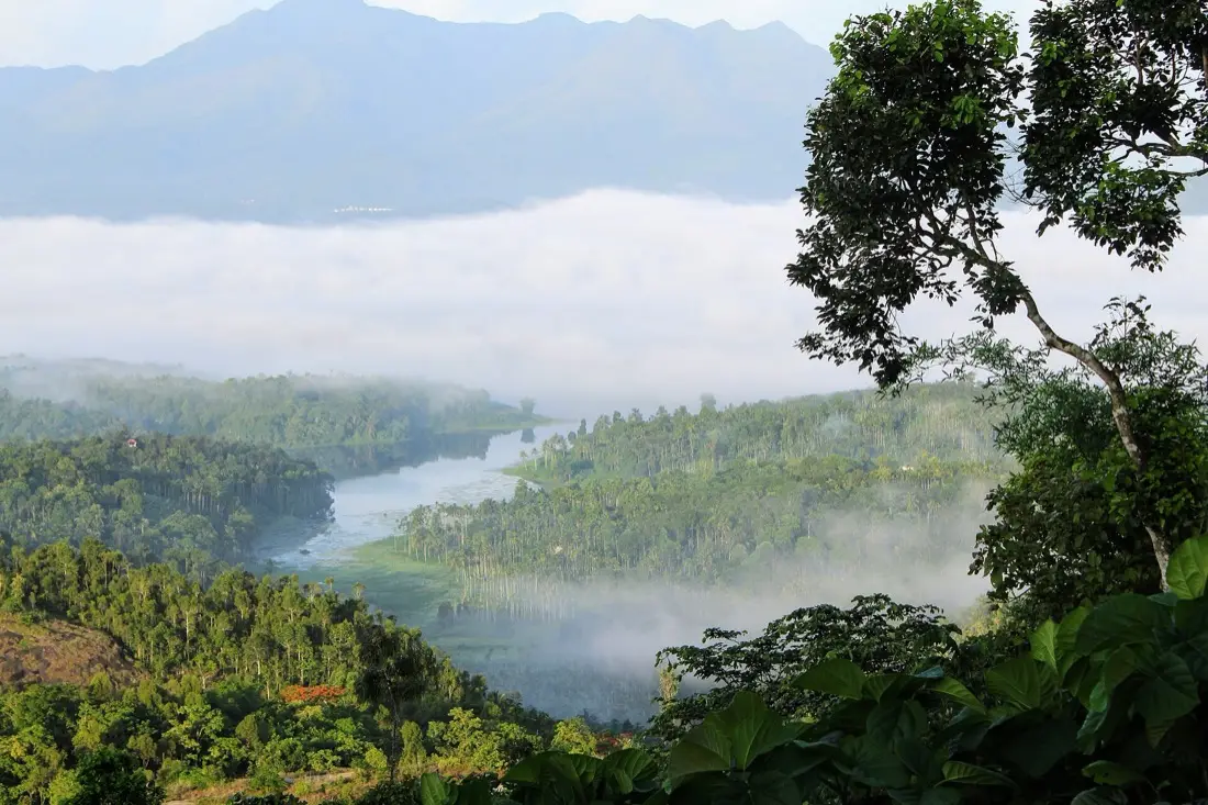
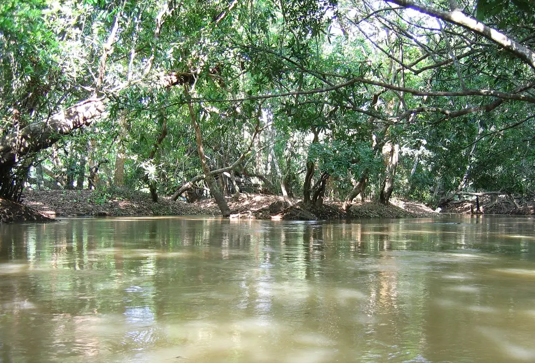
Kuruvadweep isn't one island. It's a protected river delta of about 950 acres in the Kabini: a scatter of wooded islets separated by shallow channels, with evergreen forest, orchids and medicinal plants
growing on them and no permanent human settlement.
You cross by bamboo raft or wooden boat and then walk. That's essentially the whole experience: quiet
water, big trees, a couple of hours of walking on soft ground. There's no café, no viewing tower, no
entertainment. Guests who want a busy day out find it underwhelming. Guests who want to hear a river for
two hours think it's the best thing in Wayanad.
Three practical points. Visitor numbers are capped each day and tickets are sold at the counter, not online, so arrive in the morning rather than after lunch. Plastic is restricted and bags are checked; take a
reusable bottle. And the island shuts for the monsoon, usually across the peak rain months when the
river is too high to cross safely, reopening once levels drop. Never set out for Kuruva without checking
it's open.
Hours:
roughly 9am–3:30pm, daily visitor cap
Closed:
during the monsoon; check before travelling
Entry:
per-person fee; rafting and kayaking charged separately
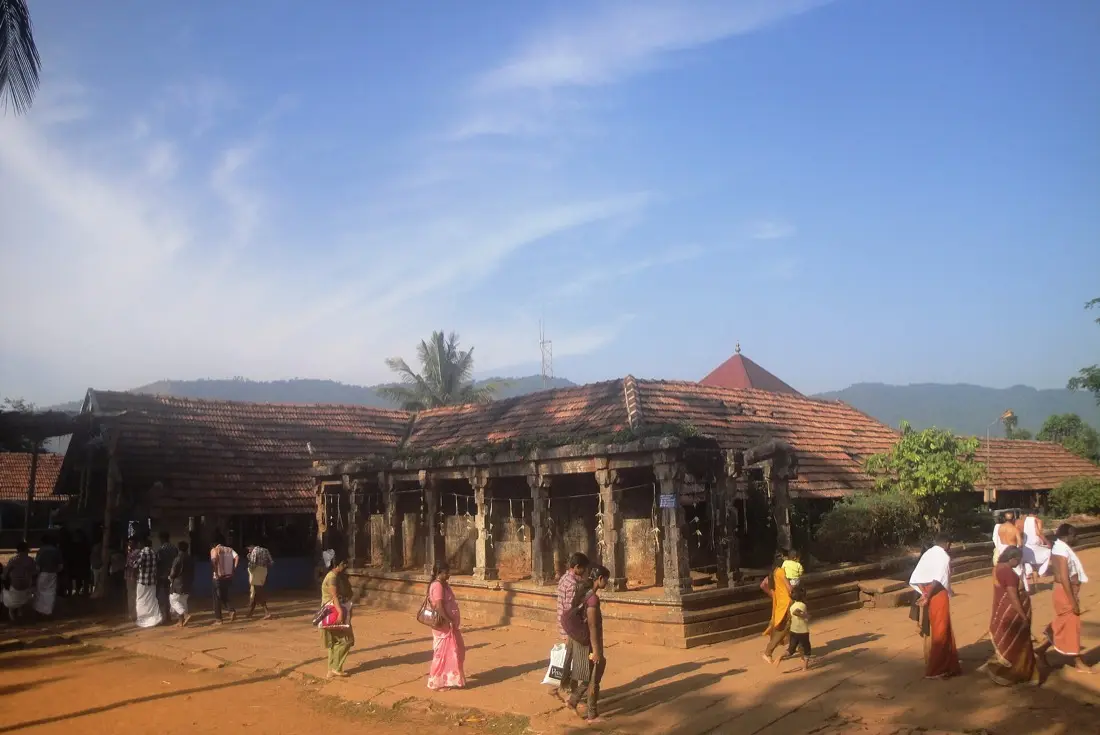
An ancient Vishnu temple standing alone in a valley under the Brahmagiri hills, close to the Karnataka
border, at around 900 metres. The name comes from nelli, the gooseberry. The story goes that Brahma found the idol inside a gooseberry tree here. The setting does most of the work: forest on three
sides, hills above, and very little else.
The Papanasini stream runs past the temple, and this is where people come to perform rites for the dead.
You will often see families doing exactly that. It's the single most important thing to understand before you arrive. For a great many visitors this is not sightseeing, and behaving like it is
sightseeing lands badly. Keep your distance from the rituals, ask before photographing anyone, and dress
conservatively: covered shoulders and legs, no shorts.
It opens early and closes through the middle of the day, reopening in the evening. Turn up at two and you have wasted the drive. The road in runs through forest and is not one to be on after dark. Go in the
morning, and take the whole northern side as one day: Kuruva and Thirunelli sit reasonably together.
Hours:
early morning until midday, then evening
Dress:
conservative; traditional dress expected in the sanctum
Note:
an active site for ancestral rites; be discreet
Where:
roughly 30 km from Mananthavady
Worth Saying Plainly
Two Places We Deliberately Haven't Recommended
Meenmutty Falls. A genuinely spectacular three-stage waterfall, and the
access to it has been closed or restricted for long stretches. Reports of its status contradict each other
constantly. We're not going to send you on a two-hour round trip on the strength of a blog post. If you want
to see it, ask us to check with the forest office first, and be ready for the answer to be no.
Neelimala Viewpoint. A short walk from a jeep drop-off, looking across at
Meenmutty falling in three stages. It's a fine hour if you're already in that direction and the jeep
operators at the base are running. It isn't worth a special trip across the district on its own, and we'd
rather tell you that than pad the list.
A Note on the Landslide
In July 2024 landslides destroyed Mundakkai and Chooralmala, villages in the Meppadi area, and hundreds of
people died. Access to the worst-hit ground is restricted to permit holders, and the state has been clear
that it will not allow disaster tourism there. Please don't ask a driver to take you past it. Other sites
in that part of the district reopened afterwards and are running normally, and visiting them supports
people who lost a great deal. That is the useful thing to do.
The Things That Actually Ruin a Day Here
Almost none of them are about the weather. They're about opening hours and paperwork.
•Daily visitor caps. Edakkal, Chembra, Soochipara and Kuruva all limit numbers. All of them can sell out on a busy weekend. Mornings, always.
•Midday closures. Temples shut for several hours in the middle of the day. Edakkal closes on Mondays.
•Last entry, not closing time. Several sites stop admitting people an hour or more before they close. Read the earlier number.
•Cash. Most counters are offline-only. Bring notes, and small ones.
•Monsoon closures. Kuruva shuts for the heavy rain months. Forest treks close on the day if the weather turns.
•Shoes. The single most common mistake we see. Sandals on wet rock at Edakkal or Soochipara is how people get hurt.
If You Only Have So Many Days
One day. Stay east. Edakkal in the morning, the Jain temple and the Heritage Museum after.
You'll have seen the oldest things in Wayanad and driven for under an hour in total.
Two days. Add a Muthanga safari at first light on day two, then Karapuzha in the afternoon
if there are children in the group. If there aren't, go south instead and do Soochipara properly.
Three days. Now the northern side is worth it: Kuruva and Thirunelli as a full day, leaving
early. Or give the whole day to Chembra, which deserves one and won't be rushed.
Whatever you choose, resist adding a fourth stop to a day that already has three. It's always the fourth one
that turns the trip into driving.
Before You Set Out
Tell us which day you're free and roughly what you're after (a climb, a temple, something the children will enjoy) and we'll tell you what's open, what to leave for another trip, and what time to leave the gate.
We'd rather have that conversation than have you find a closed barrier.